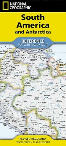

National Geographic South America and Antarctica Map (Folded with Flags and Facts): (National Geographic Reference Map 2022nd ed.)
Maps
In Stock
Quantity
Description
Waterproof Tear-Resistant Reference Map.
Expertly researched and designed, National Geographic's South America and Antarctica Flags & Facts Map is the authoritative map of South America by which other reference maps are measured. The map side includeds a political map showing countries, cities and other landmarks and a physical map shows the landforms such as mountain ranges and rivers. The Flags & Facts side includes a combined political and physical map of Antarctica.
Clearly defined boundaries, major cities, and physical features
Hundreds of place names carefully placed to maintain legibility in heavily populated areas
Includes South America and Antarctica and adjacent regions within North America
Detailed physical map of South America with mountain ranges, plains, lakes, and rivers
Flags and facts with detailed information about cultural and physcial attributes
Printed in the U.S.A.on extremely durable, waterproof, and tear-resistant material
This Reference Map is printed on durable synthetic paper, making it waterproof, tear-resistant and tough - capable of withstanding the rigors of any kind of use in the home or classroom. 2 Maps
About the Author
Founded in 1915 as the Cartographic Group, the first division of National Geographic, National Geographic Maps has been responsible for illustrating the world around us through the art and science of mapmaking.Today, National Geographic Maps continues this mission by creating the world's best wall maps, recreation maps, atlases, and globes which inspire people to care about and explore their world.
More Details
- Imprint: National Geographic Maps
- ISBN13: 9781566959346
- Number of Pages: 2
- Packaged Dimensions: 108x235mm
- Packaged Weight: 54
- Format: Maps
- Publisher: National Geographic Maps
- Release Date: 2024-05-01
- Series: National Geographic Reference Map
- Binding: Other cartographic
- Biography: Founded in 1915 as the Cartographic Group, the first division of National Geographic, National Geographic Maps has been responsible for illustrating the world around us through the art and science of mapmaking.Today, National Geographic Maps continues this mission by creating the world's best wall maps, recreation maps, atlases, and globes which inspire people to care about and explore their world.
Delivery Options
Home Delivery
Store Delivery
Free Returns
We hope you are delighted with everything you buy from us. However, if you are not, we will refund or replace your order up to 30 days after purchase. Terms and exclusions apply; find out more from our Returns and Refunds Policy.